Description
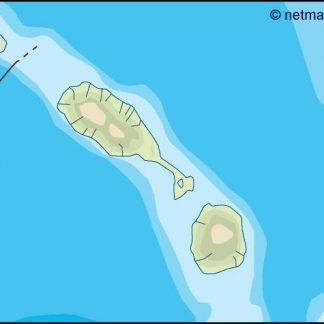
st kitts and nevis illustrator map: professional vector map for design, publishing and corporate use
The st kitts and nevis illustrator map is a fully editable vector map developed for professional design environments where precision and flexibility are essential. Designed for use in Adobe Illustrator, it provides complete control over layers, colours and graphical elements, allowing designers and organisations to adapt the map to their exact visual requirements. This makes it highly suitable for publishing, corporate reporting and digital communication.
Unlike static images, this map is built as a working file. Every component can be modified independently, from typography and colours to geographic structures and visual hierarchies. This enables seamless integration into existing design systems and ensures consistency across different outputs.
The map reflects geographic relationships across strategic locations across Africa, from South Africa to key regional hubs. This combination of local detail and continental context makes it particularly relevant for projects focused on Africa, where both regional and cross-border perspectives are important.
Formats, scalability and Illustrator-based workflows
The map is delivered in AI, PDF and JPG formats. The Adobe Illustrator file provides full access to editable vector layers, making it the primary format for design professionals. The PDF version maintains vector integrity and can be integrated into a wide range of tools, while the JPG offers a quick solution for digital use.
Vector scalability ensures that the map can be resized without any loss of quality. This allows it to be used across different formats, from detailed digital layouts to large-format printed visuals. The same file can support multiple outputs, improving workflow efficiency and consistency.
The structured layer system allows designers to isolate elements, adjust visual hierarchies and adapt the map without compromising its integrity. This is particularly important in professional environments where speed and precision are critical.
Applications, usage rights and delivery
The st kitts and nevis illustrator map is widely used in publishing, corporate communication, presentations and marketing materials. It supports the creation of clear, professional visuals that communicate geographic information effectively. It is suitable for reports, books, presentations, websites and infographics.
The map includes commercial usage rights, allowing it to be used in client projects, printed materials and digital media without restriction. This ensures long-term usability and makes it a reliable asset for agencies, companies and institutions operating in African markets.
This map is part of the Netmaps vector database, a structured collection developed across multiple international markets. Netmaps is a registered brand in 27 countries, ensuring consistent quality and professional cartographic standards.
After purchase, the files are delivered digitally via email using WeTransfer, providing immediate access. This allows users to begin working without delay and aligns with modern design workflows.
Over time, the st kitts and nevis illustrator map becomes a reusable design asset that supports ongoing projects. Its editable structure allows continuous adaptation, making it suitable for multiple uses across different sectors. By combining flexibility, scalability and structured data, it offers a complete solution for professionals working with geographic content in Africa.